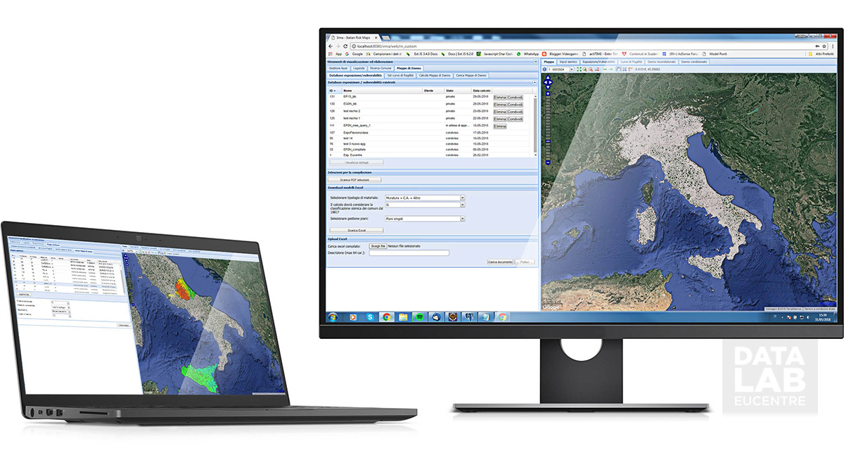
DataLab produces risk analysis and damage scenarios using WEB GIS platforms that use exposure, vulnerability and hazard data.
At the moment the system contains data on about 100,000 artifacts including:
- 18.210 bridges;
- 310 ports;
- 1.071 galleries;
- 30.687 retaining walls;
- 532 dams;
- 52.435 school buildings;
- 38 airports.


